


Description
INTRODUCTION
A geographic information system (GIS) is a system designed to capture, store, manipulate, analyze, manage, and present spatial or geographic data. The acronym GIS is sometimes used for geographic information science (GIScience) to refer to the academic discipline that studies geographic information systems and is a large domain within the broader academic discipline of geoinformatics. What goes beyond a GIS is a spatial data infrastructure, a concept that has no such restrictive boundaries.
Geographic Information System (GIS) Seminar Report
Page Length : 24
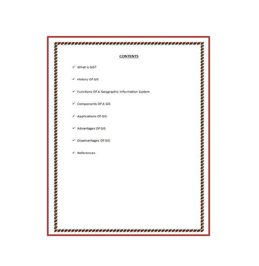
Content :
- What Is GIS?
- History Of GIS
- Functions Of A Geographic Information System
- Components Of A GIS
- Applications Of GIS
- Advantages Of GIS
- Disadvantages Of GIS
- References
Geographic Information System (GIS) Presentation Report (PPT)
Page Length : 14
Content :
- What Is GIS?
- Principle Of GIS
- Function Of GIS
- Components of GIS
- Types of GIS
- Advantages of GIS
- Applications of GIS
- Conclusion


Reviews
There are no reviews yet